
A Correspondent writes:
This week the Otter Estuary was reconnected to sea for the first time in 200 years as a section of the historic embankment next to the lime kiln car park was removed.
At the beginning of the nineteenth century Lord Rolle started to plan a grand scheme for the River Otter below Otterton and East Budleigh. This part of the estuary, through which the river meandered, was called the “Runnie”. The Runnie used to flood freely at high tide. The section just above, and including, what is now the lime kiln car park was called the “Salmon Pool” and formed a harbour for coasters and yachts.
Plans to build a series of embankments were drawn up by the renowned Devon surveyor and civil engineer James Green. (James Green built many fine bridges in Devon including Otterton Bridge).
The aim was to reclaim land for agriculture and, by straightening and canalising the river along the eastern bank, to increase its navigability.
Work started around 1810, finishing with modifications and extensions around 1815. Local legend has it that the work was carried out by French prisoners of war but this is not supported by historical work on contracts carried out in the Clinton Estate archive.
Over the years the banks have been “overtopped” many times by flood water sweeping down the valley and sections have been swept away a number of times by flood tides. The first breach occurred during a particularly damaging storm of 1824. Major breaches also occurred in the fifties and the latest in 2018, requiring major repairs.
Over two hundred years, the once productive reclaimed land now lies below the level of the river bed. It has become saline and difficult to drain. Navigability was never restored as shallow draft boats could no longer drift upstream at high tide in a wide estuary and beach as they did before .
As it happens, this deliberate breach has occurred just before the equinoctial spring tides. These are tides with a greater than average range. On Saturday and Sunday, high tide will be 4.7 m. So we don’t have to wait to see what happens.
At this level there is expected that some water will cover parts of the new footpaths. And, indeed this was witnessed above South Farm Road.
Here are some images of this historic moment:
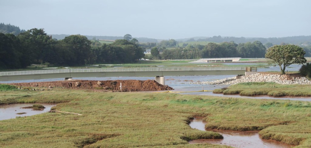
The start of the breach, about one third of the intended 70m gap created, looking north from the beach
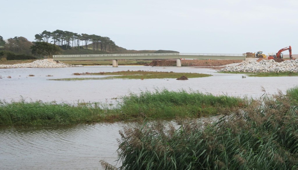
Partial breach looking south
Saturday flood tide looking north towards elevated South Farm Road

Tide over footpath north of South Farm Road

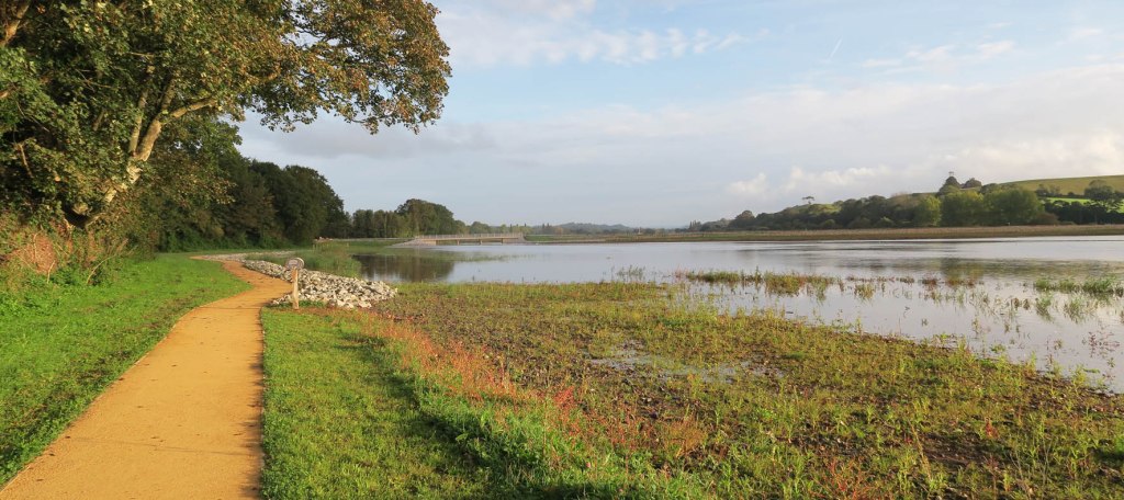
Looking south towards estuary mouth
